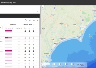
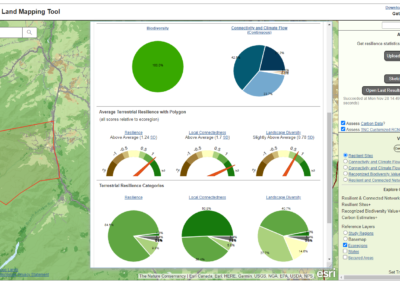
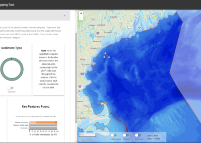
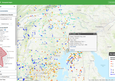
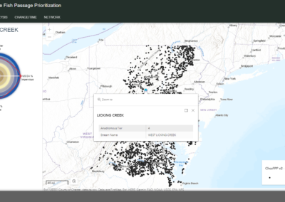
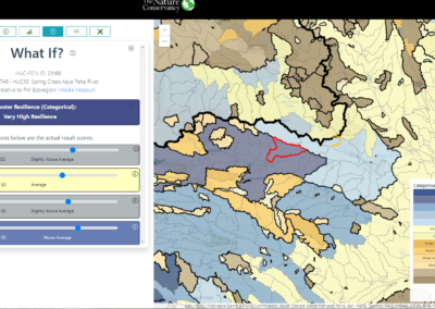
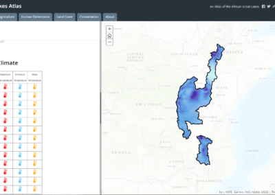
With a background in the natural sciences, a Master’s in Geographic Information Systems, and an interest in web development, I found my niche developing web-based decision support tools for The Nature Conservancy’s Center for Resilient Conservation Science. I enjoy working with my scientist colleagues to develop a vision for how a decision support tool could best empower users to understand and utilize the results of our conservation planning analyses, then figuring out how to make it happen. I use whatever tools I can find that best suite the requirements of the project. These often include Esri’s ArcGIS suite (Online, Enterprise, JavaScript API), Mapbox, MySQL databases, Vue.js, and D3.js, but change and expand often. I’m currently excited to be exploring Cloud Optimized GeoTiffs and how they can be used for fast display and analysis of raster data. You can learn more about me at my LinkedIn profile. The projects below are examples of web-based decision support tools (all designed for desktop clients) that I have been the full-stack developer for.
Contact
"*" indicates required fields
