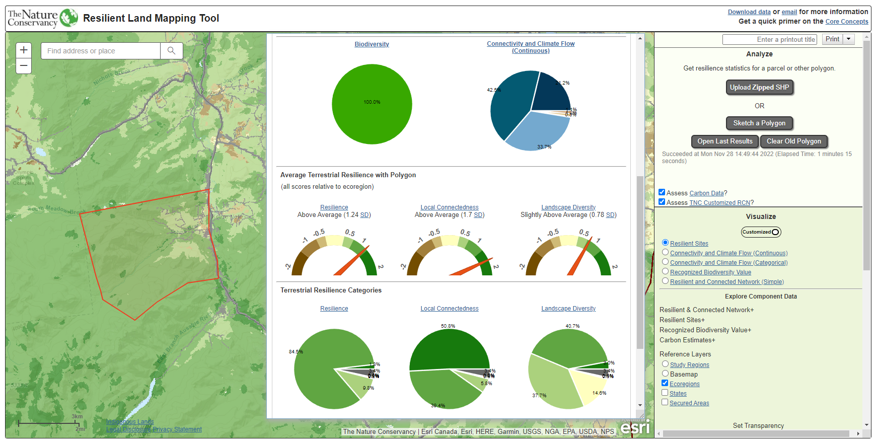
Resilient Land Mapping Tool
The Resilient Land Mapping Tool showcases the terrestrial resilience data produced by The Nature Conservancy’s Center for Resilient Conservation Science. This analysis evaluates how resilient a landscape is to the effects of climate change by measuring such features as the diversity and connectivity of physical habitats. The tool allows users to view the data and assess their particular area of interest against multiple datasets. The back end of the tool leverages Esri’s ArcGIS Online for cached tile services and ArcGIS Server for dynamic map services and geoprocessing services. The front end is built using raw JavaScript and the ArcGIS JS API.