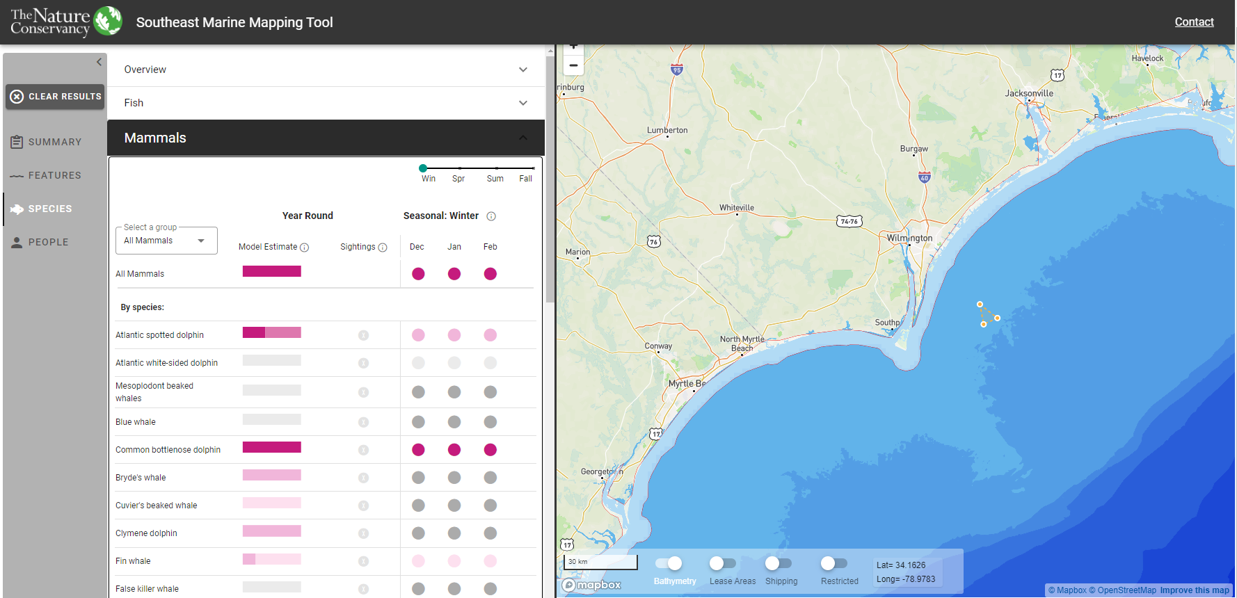
Marine Mapping Tool (Southeast)
Building off of its predecessor in the Northeast US, The Nature Conservancy’s (TNC) Marine Mapping Tool in the Southeast is designed to support marine spatial planning along the Atlantic coast. Working with scientists at TNC and partner organizations, the tool brings together best available data on fish, marine mammals, and other species along with physical feature data and human activities. It allows users to summarize multiple datasets quickly and easily for their particular area of interest. The tool is built with vector tiles (Mapbox) and a MySQL database on the backend and Vue.js, D3,js and the Mapbox GL on the front end.