Chesapeake Fish Passage Prioritization - v3
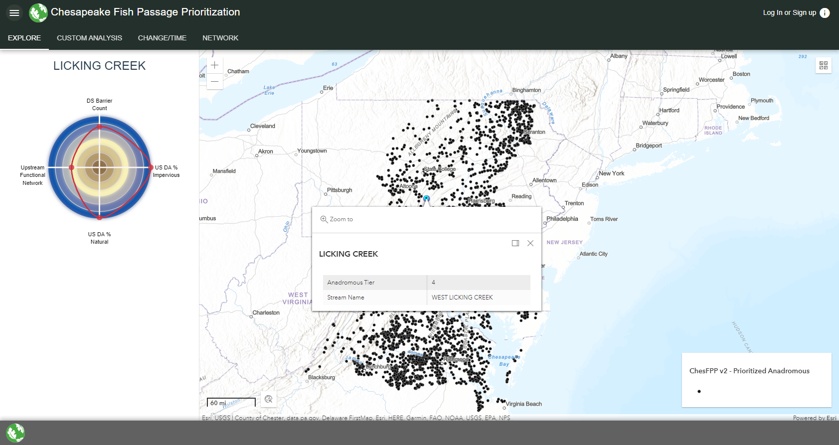
I’m currently working on a new version of the Chesapeake Fish Passage Prioritization tool. It will have analogous functionality as the existing tool, but with updated front-end technology including Vue3, Quasar framework, and the ArcGIS JS API 4.25.
The Chesapeake Fish Passage Prioritization tool, is designed to identify and prioritize dams for removal or improved fish passage. A database of dams was compiled from multiple sources and a suite of ecologically-relevant metrics was calculated for each dam in the database from various secondary datasets. These metrics were then weighted and combined to produce a tiered prioritization. The tool also allows users to developed their own, customized prioritizations to match their objectives by selecting their own weights, modeling the removal of one or more dams, and restricting the analysis to a sub-geography or other subset of data. The back end of the tool leverages Esri’s ArcGIS Enterprise suite for map and geoprocessing services and the ArcGIS JS API for the front end.