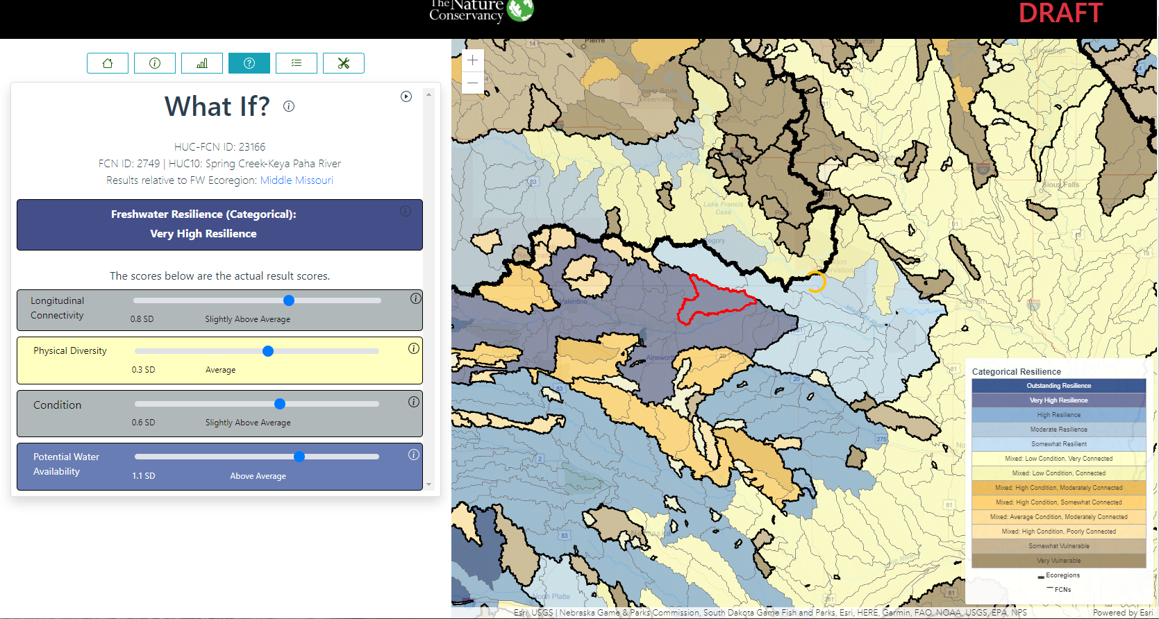
Freshwater Resilience
The Center for Resilient Conservation Science’s Freshwater Resilience analysis seeks to do for freshwater what the Resilient Land Mapping Tool does for terrestrial habitats: identify which systems are likely to be most resilient in the face of climate change and associated disturbances. The analysis is ongoing and the tool is very draft, but it strives to help users understand what factors drive the results, summarize multiple units for an area of interest, and test how conservation actions could influence the resilience of a system. It is built using Esri’s vector tiles, Vue.js, D3.js, and custom data visualizations.