by mainegis | Nov 28, 2022
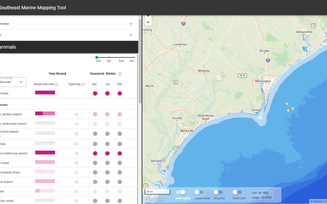
Marine Mapping Tool (Southeast) Building off of its predecessor in the Northeast US, The Nature Conservancy’s (TNC) Marine Mapping Tool in the Southeast is designed to support marine spatial planning along the Atlantic coast. Working with scientists at TNC and...
by mainegis | Nov 28, 2022
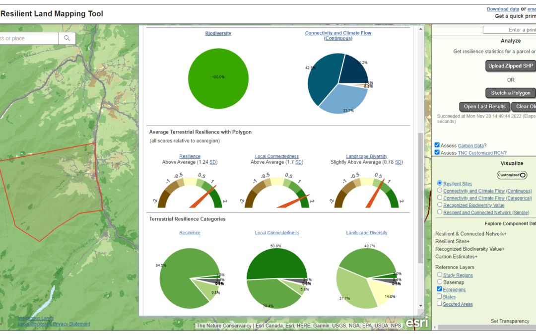
Resilient Land Mapping Tool The Resilient Land Mapping Tool showcases the terrestrial resilience data produced by The Nature Conservancy’s Center for Resilient Conservation Science. This analysis evaluates how resilient a landscape is to the effects of climate...
by mainegis | Nov 28, 2022
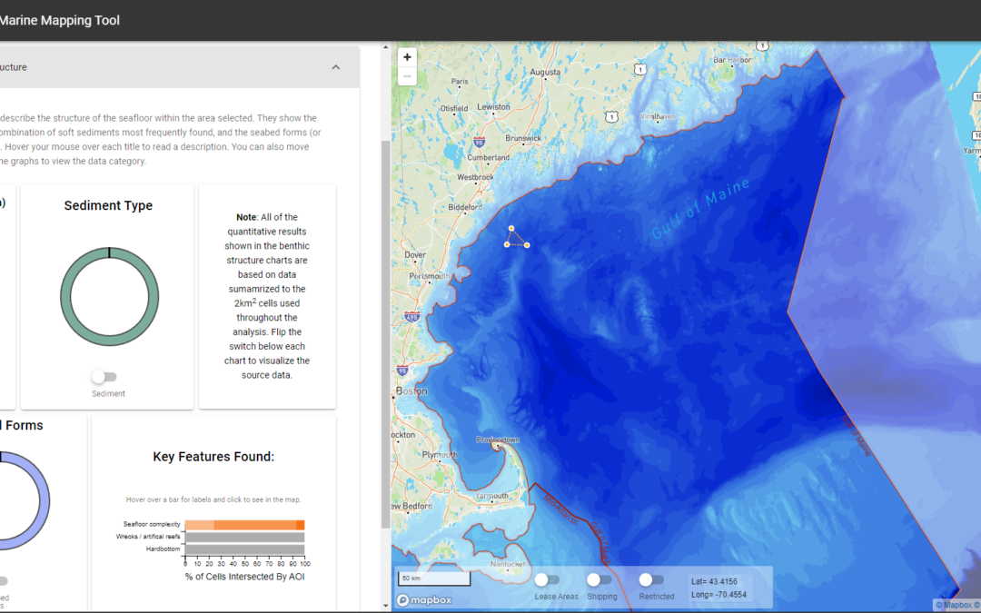
Marine Mapping Tool (Northeast) The Nature Conservancy’s (TNC) Marine Mapping Tool is designed to support marine spatial planning along the Atlantic coast. Working with scientists at TNC and partner organizations, the tool brings together best available data on...
by mainegis | Nov 2, 2022
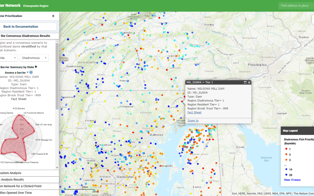
Chesapeake Fish Passage Prioritization The Chesapeake Fish Passage Prioritization tool, is designed to identify and prioritize dams for removal or improved fish passage. A database of dams was compiled from multiple sources and a suite of ecologically-relevant...
by mainegis | Oct 31, 2022
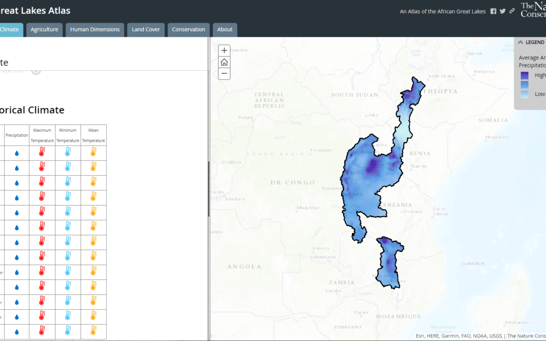
African Great Lakes Atlas This ArcGIS Story Map was designed to inform conservation planning in the Great Lakes region of Africa. It combines multiple StoryMap templates with customized JavaScript functions to add additional...


